Long Island Is Hiding Something Nobody Talks About
Long-form19:065.2× channel median
Published Oct 11, 2026, 12:48 PM · 3d ago

geography
17.7K subscribers · median 5.3K views
Stock footage · confirmed$Likely
Views
27,657
+437 views/hour
Likes
300
1.1% of views
Comments
42
0.15% of views
Checked every 3 h while the video is this age · last check 5h ago · next in 0 min. YouTube itself updates public counts with a short delay.
Views / hour now
437
measured 5h ago
Peak views / hour
437
5h ago
Avg views / day
7.7K
since upload
First 24 hours
—
not tracked from upload
vs channel median
5.2×
Rank in channel
#8
of 21 tracked
Engagement
1.2%
likes + comments / views
Est. ad revenue
$111–$249
lifetime, $4–9 RPM
Views over time
5 readings · line: total views · bars: views gained per hour
Description
weird long island geography mysteries here https://www.youtube.com/watch?v=zaG916Smozo
There is no bedrock under Long Island. Not in any useful sense. The entire island is loose sand, gravel, clay and boulders sitting on top of rock that dips away steeply to the southeast — shallow enough to matter under western Queens, hundreds of feet down by mid-Nassau, and estimated at well over a thousand feet at Montauk. Nothing out there is anchored into the continent. It's resting on it.
It's a heap of debris an ice sheet left behind, and there are two heaps. The Ronkonkoma moraine and the Harbor Hill moraine are two separate advances that stalled in two separate places — which is why the island has two forks, with the drowned valley of Peconic Bay flooded between them. The shape of Long Island was decided by where a glacier twice ran out of energy.
Shelter Rock in North Hempstead weighs an estimated eighteen hundred tons and came from Connecticut or beyond, carried inside the ice and dropped when the glacier let go of it. Lake Ronkonkoma is a hole where a buried ice block melted — no inlet, no outlet, rising and falling with the water table instead of a river.
Drinking water for roughly three million people comes out of the ground directly underneath them. No reservoir, no river, no pipeline — the federal government designated it a sole source aquifer because there is no alternative supply. The deepest layer, the Lloyd, holds water that fell as rain thousands of years ago and moves down through sand at a few feet a year. And the same permeable sand that makes the aquifer work is what makes it defenceless: no clay, no rock, nothing between a lawn and the water supply.
Under all of that is the Cretaceous. A hundred-million-year-old coastal plain with amber in it, some containing trapped insects, which came up in north shore brickyards. Fossil leaves, cones, lignite on its way to becoming coal. Dinosaurs walked on that surface — and nobody has ever found one here, because
Tags
long islandlong island geographylong island historylong island factsgeography factslevittownfire islandmontauklong island aquiferterminal morainepine barrensshelter rocklake ronkonkomacamp heronew york
Details
- Published
- Oct 11, 2026, 12:48 PM
- Length
- 19:06 (1,146 s)
- Format
- Long-form
- Category
- —
- Audio language
- —
- Quality
- —
- Captions
- —
- Made for kids
- —
- Licensed content
- —
- Video ID
- 6bZaroDEWt0
More from geography
 Denmark Is Hiding Something Nobody Talks About3.6K views · 15h ago · +278/h
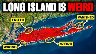 The Weirdest Geographic Mysteries In Long Island2.5K views · 2d ago · +25/h
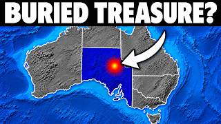 Why Outback South Australia Is Sitting On The Most Valuable Land In Human History506 views · 4d ago · +6/h
 The Great Lakes Isn't Really a Lake It's a Wound924 views · 1w ago · +2/h
 Africa's Deepest Lake Isn't Really a Lake. It's a Wound.5.9K views · 1w ago · +1/h
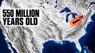 Lake Erie Isn't Really a Lake. It's a Wound.142K views · 1w ago · +331/h
 Why Northern Florida Is Sitting On The Most Valuable Land In Human History51.4K views · 1w ago · +13/h
 Why Big Bend Florida Is Sitting On The Most Valuable Land In Human History1.2K views · 2w ago · +1/h
Statistics from the YouTube Data API, tracked by FameX. Views per hour, revenue and comparisons are FameX estimates.